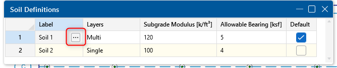


With Pile Design in RISAFoundation, you have the ability to define the default soil properties for the entire model. But also the Soil Definitions spreadsheet gives you control over all the soil property layers in one location.
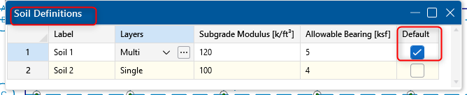
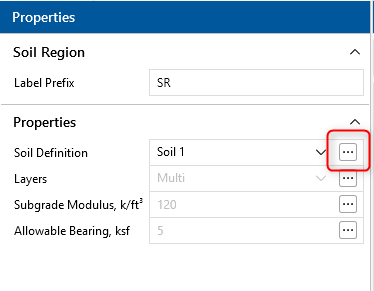
The default soil definition will be used the whole model except where another soil region is drawn in the model (shown below with the Default? checkbox).
Note: If you only have one soil profile for your entire model, you don’t need to draw a soil region. The program will use the default for the soil region.
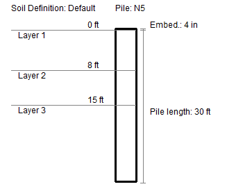
The Soil Definitions spreadsheet has the option to input the depth properties used for axial pile design of concrete, hot rolled, and wood piles. To access the Soil Depth Properties spreadsheet, just click on the Depth Properties cell and click on the red arrow.
The Soil Depth Properties spreadsheet will allow the user to enter the soil layer properties. You can refer to the project site geotechnical report to find the soil layer properties.
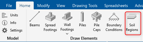
In special cases where the building site has different soil properties across the site, the user can draw a soil region through the Draw Soil Regions tool:
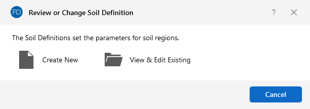
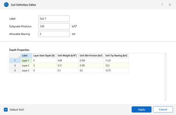
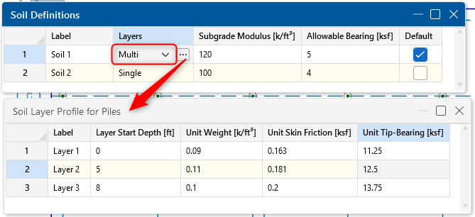
The Soil Definition Editor allows the user to create a new soil definition or modify an existing soil definition. This dialog box can also be accessed to view existing soil definitions from the Soil Definitions spreadsheet. In that spreadsheet, simply click on a soil label and the triple dots in that cell and the Soil Definition Editor will open showing the soil inputs and depth properties for that definition.